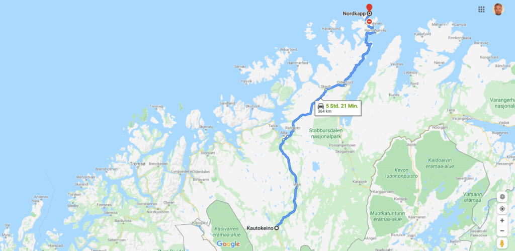
Route Map: 364 km
Summary:
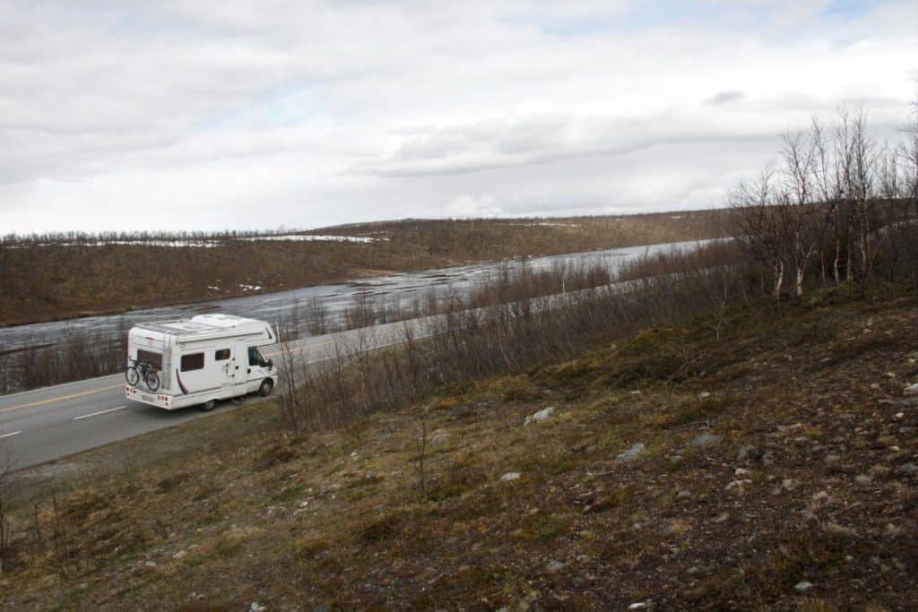
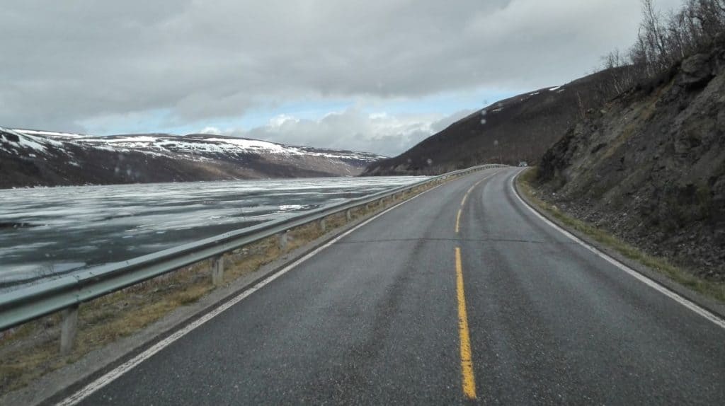
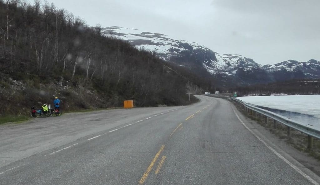
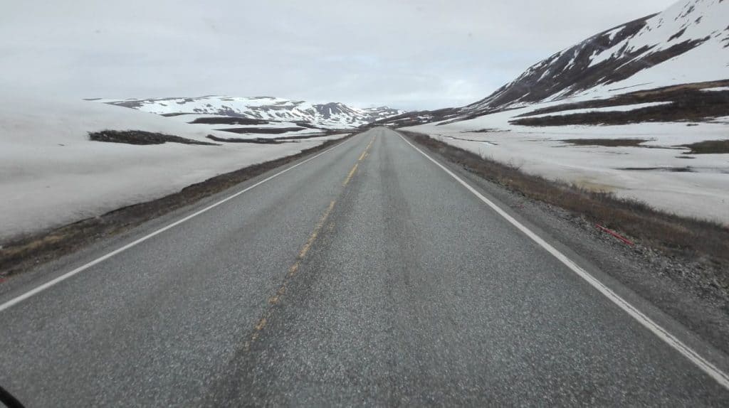
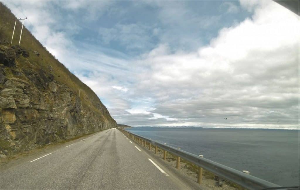
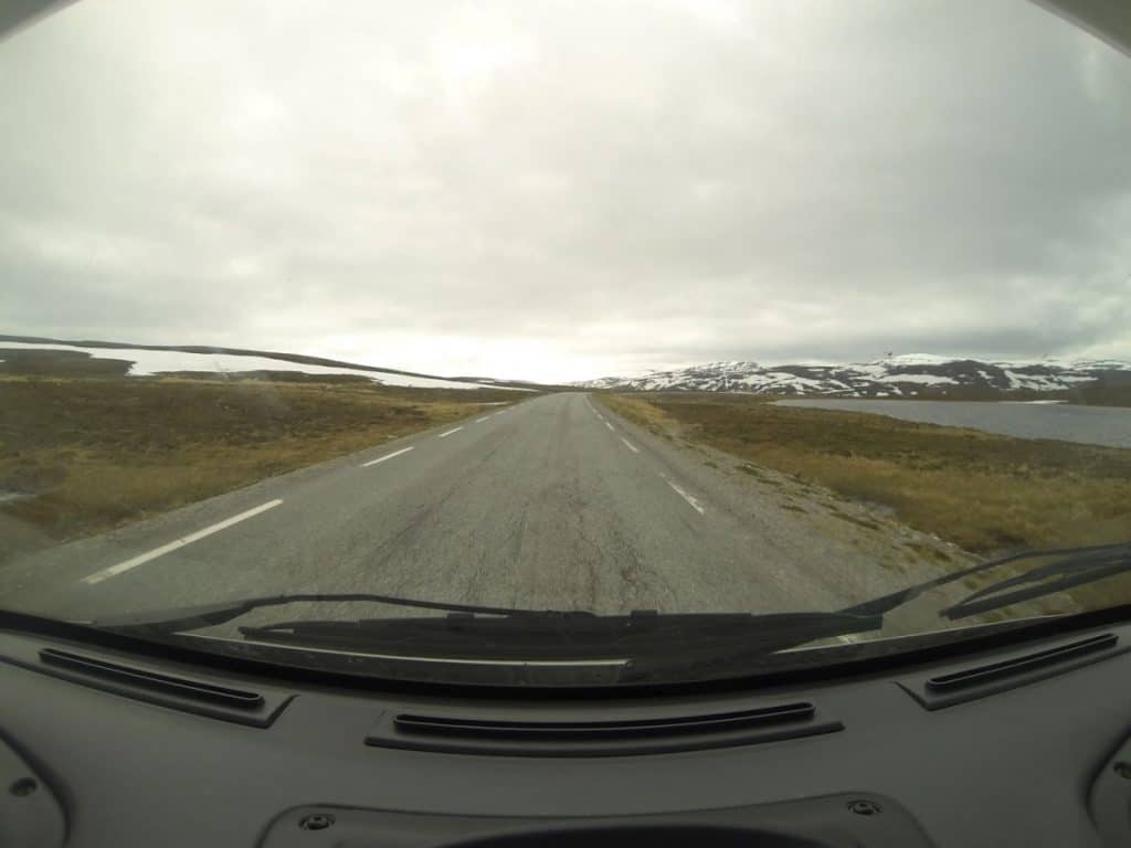
Final approach to the summit! Again a lonesome ride but filled with great landscapes and scenery. Also rather tiring because of a topography of mountains and valleys and winding roads all the time. But the excitement increased km by km.
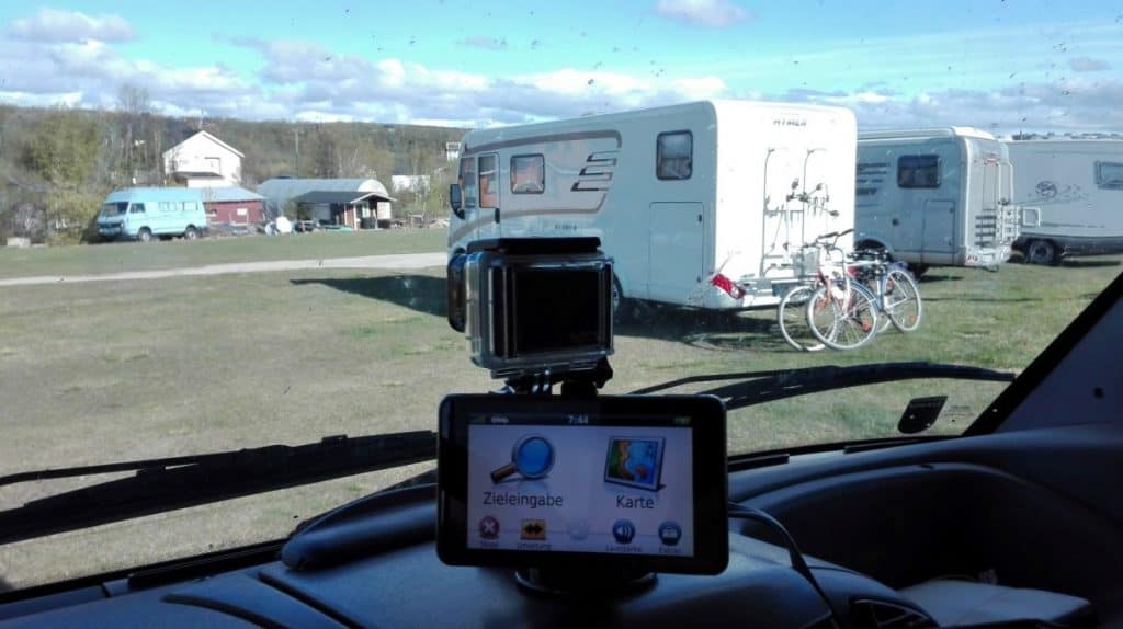
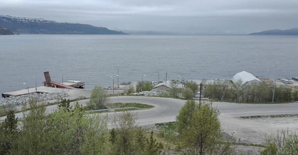
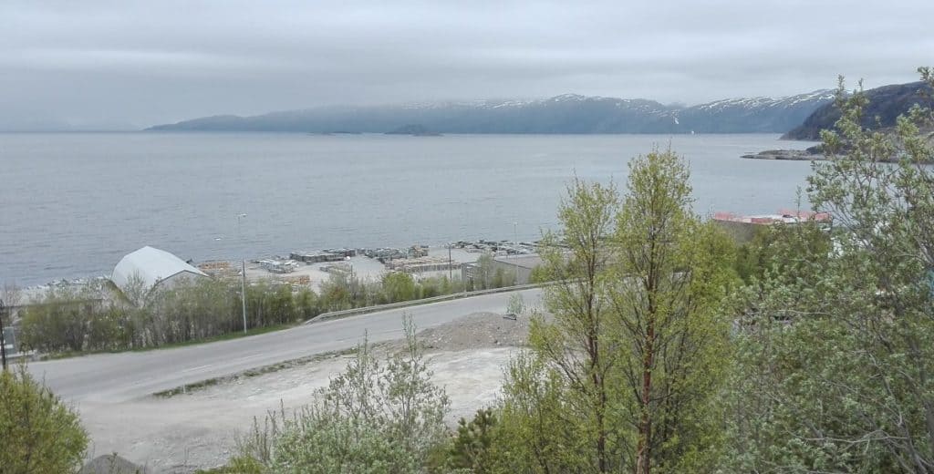
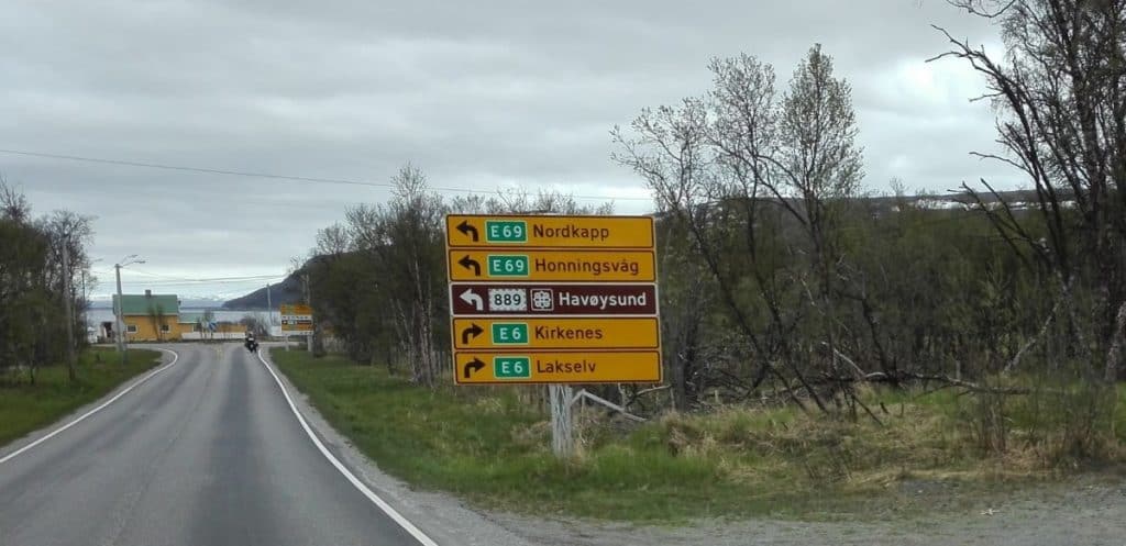
Departure and some stops:


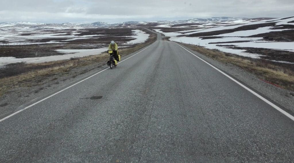
Cyclists again
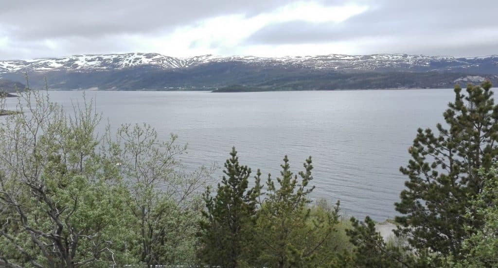
197 km 
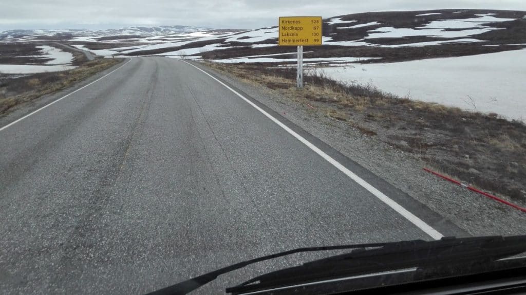

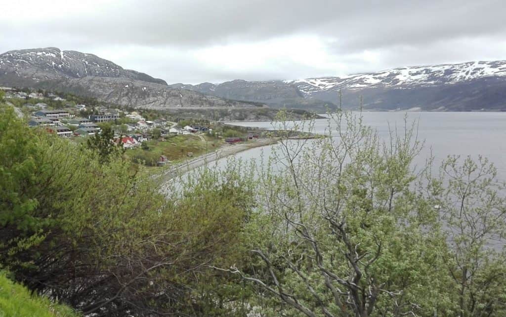
177 km 
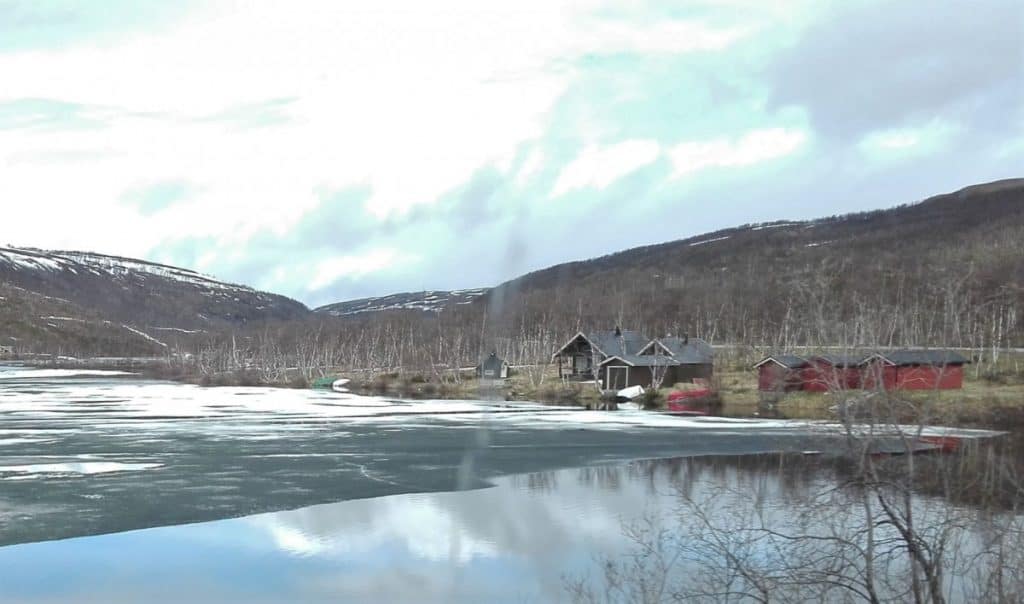
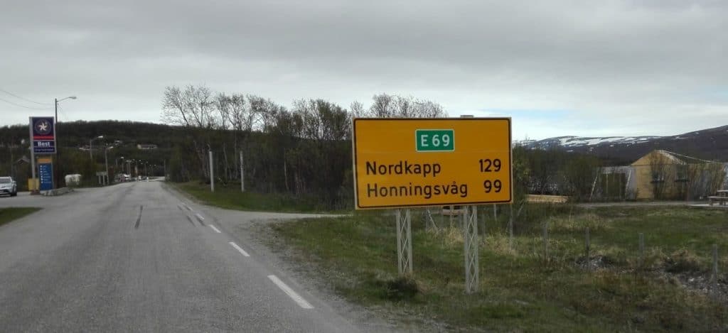
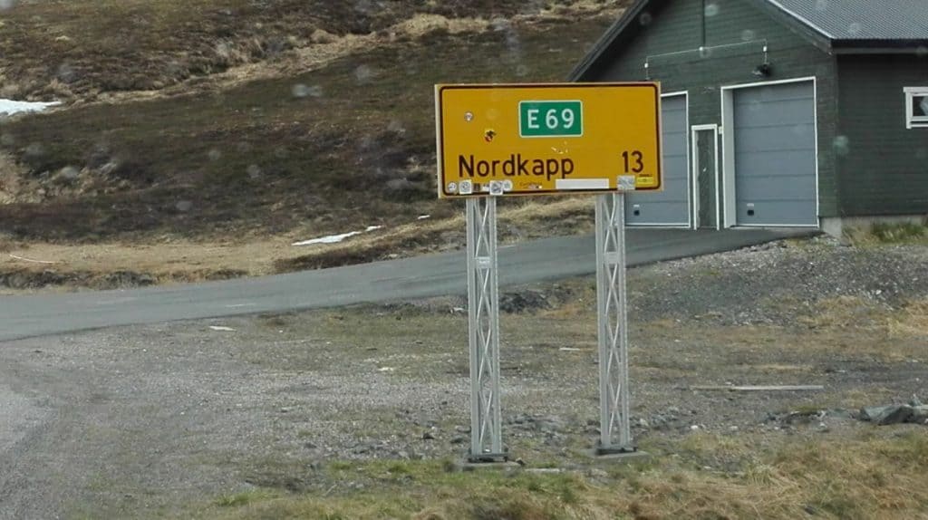
129 km 13 km
I missed to take pictures entering the final tunnel. It takes you plus/minus 280 m below sea level. I remember it to be a “funny” feeling.

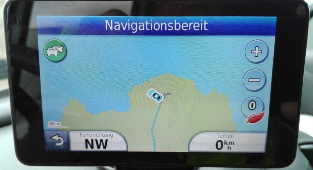
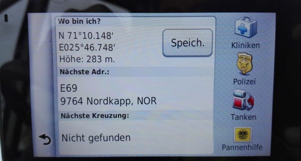
Final stage 
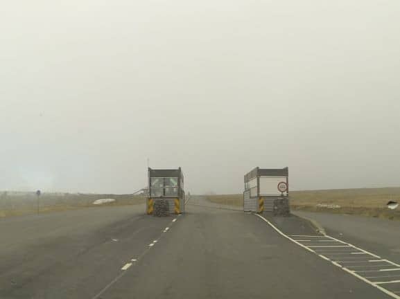
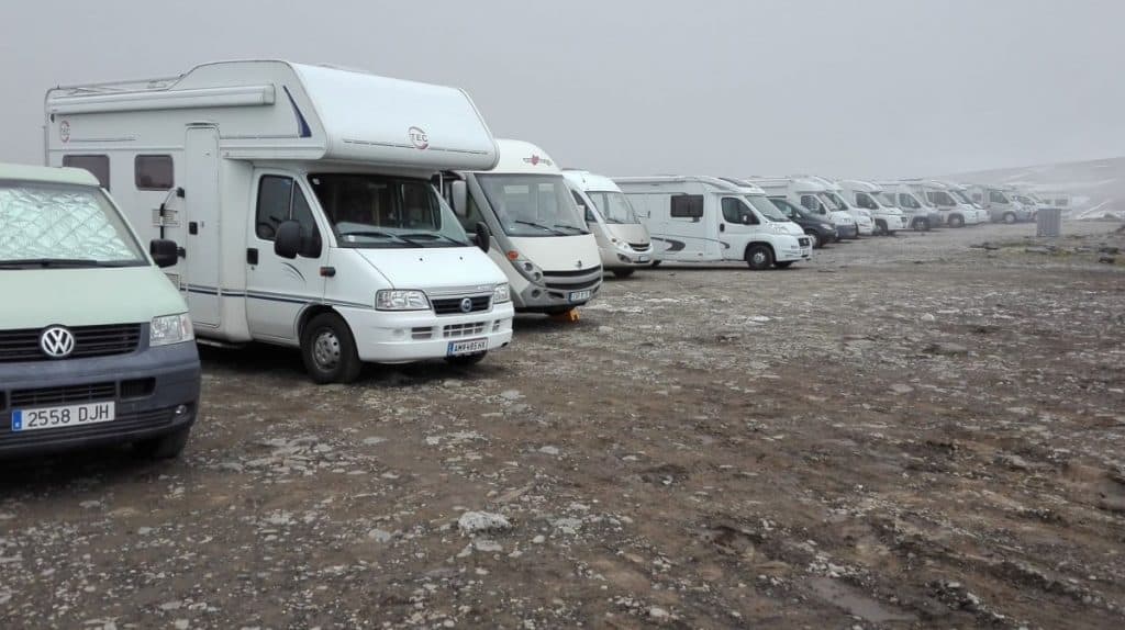
Entrance gate Parking lot 
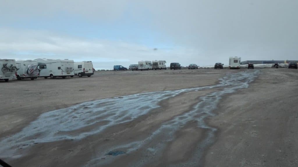
First row position
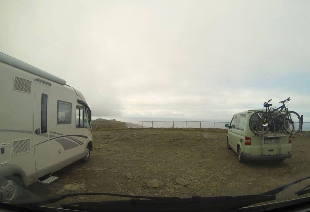
Not really on my own
First glimpse of the dream
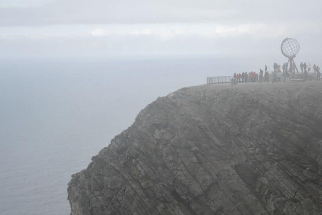


All documented for later generations 🙂